Start Here
Please take the time to read through the site descriptions to choose a mentor site that will be a good fit for you. As you read through the descriptions, ask yourself:
- Where do you want to be?
- What skills are you hoping to learn?
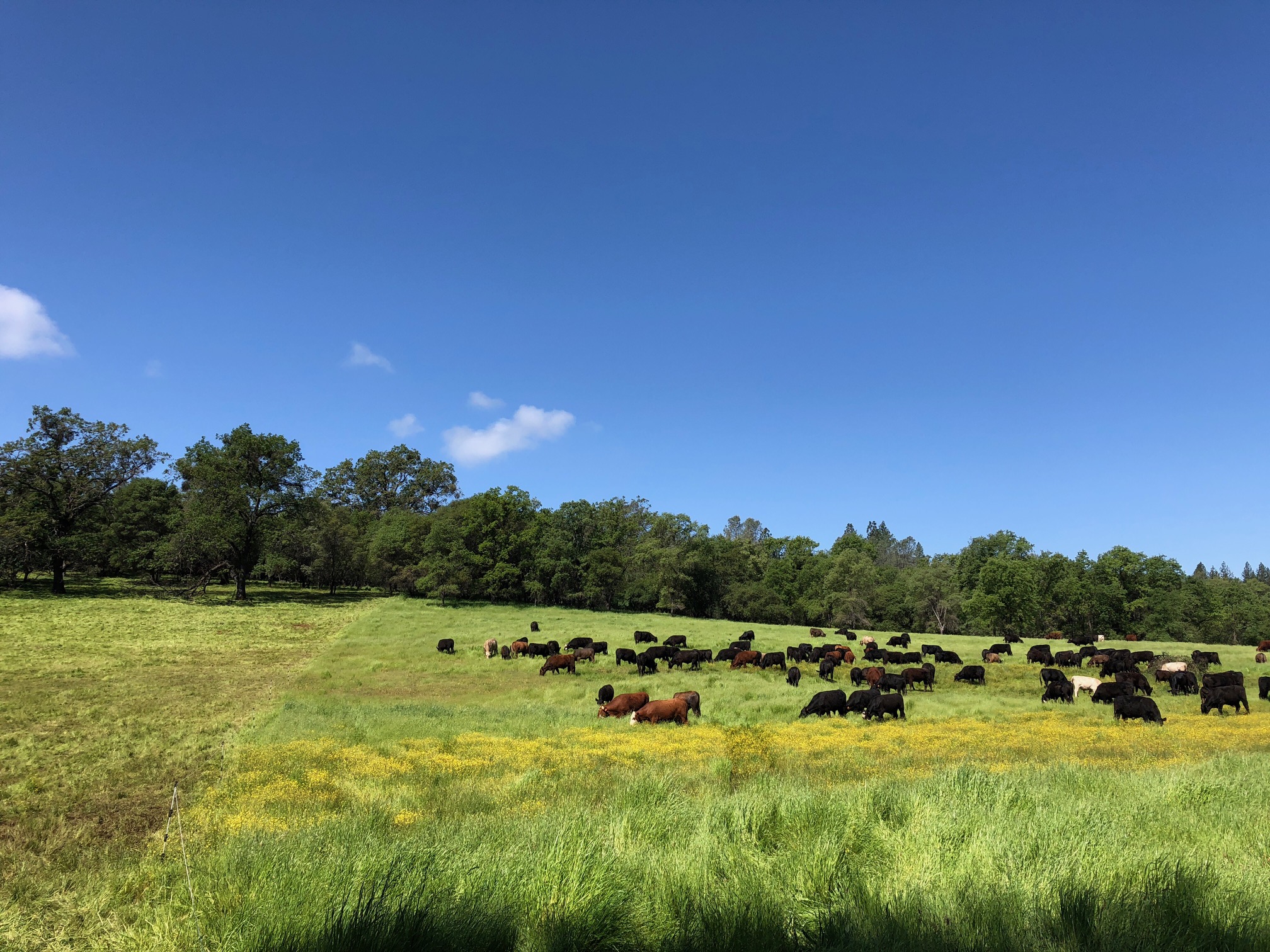
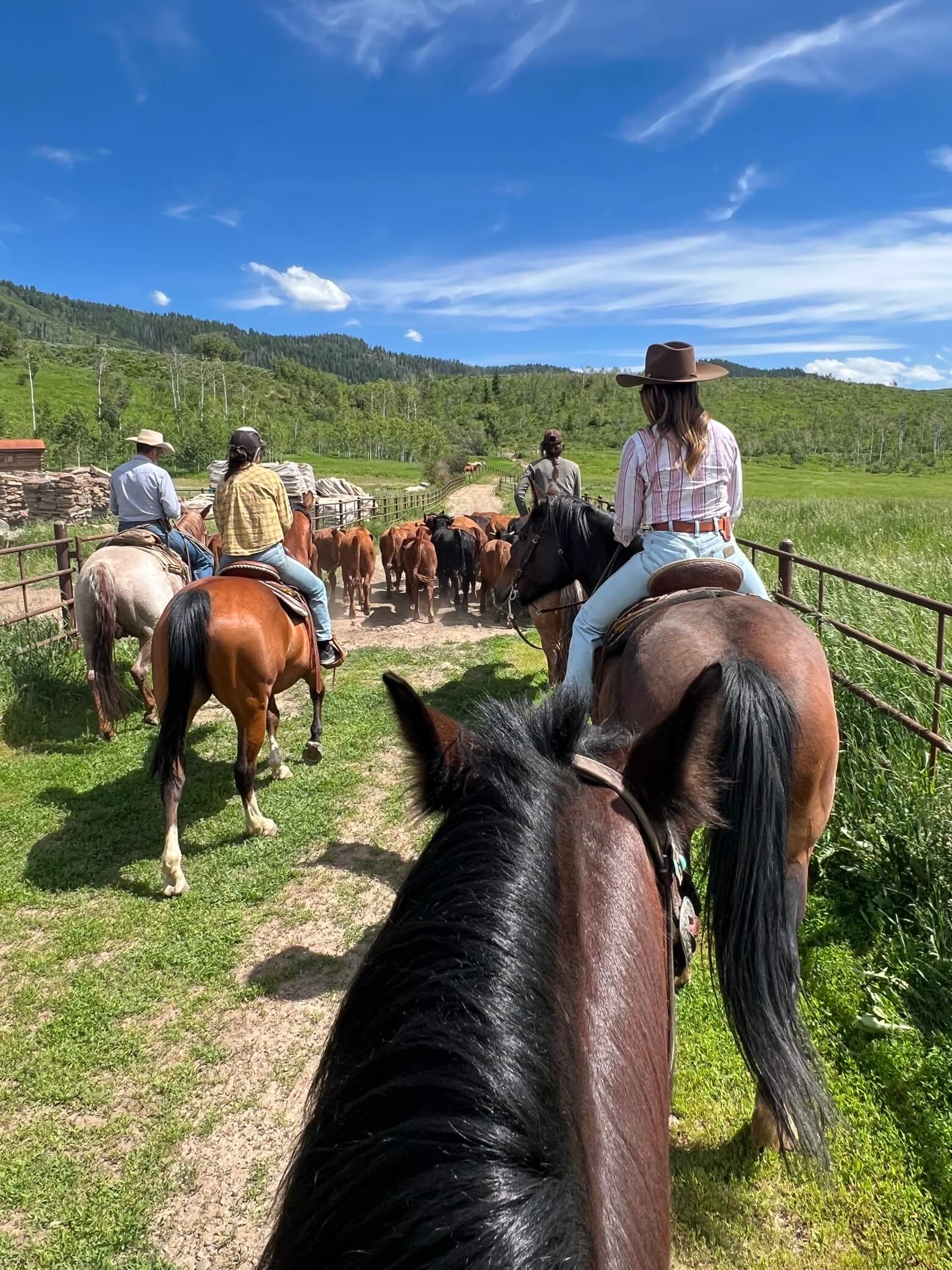
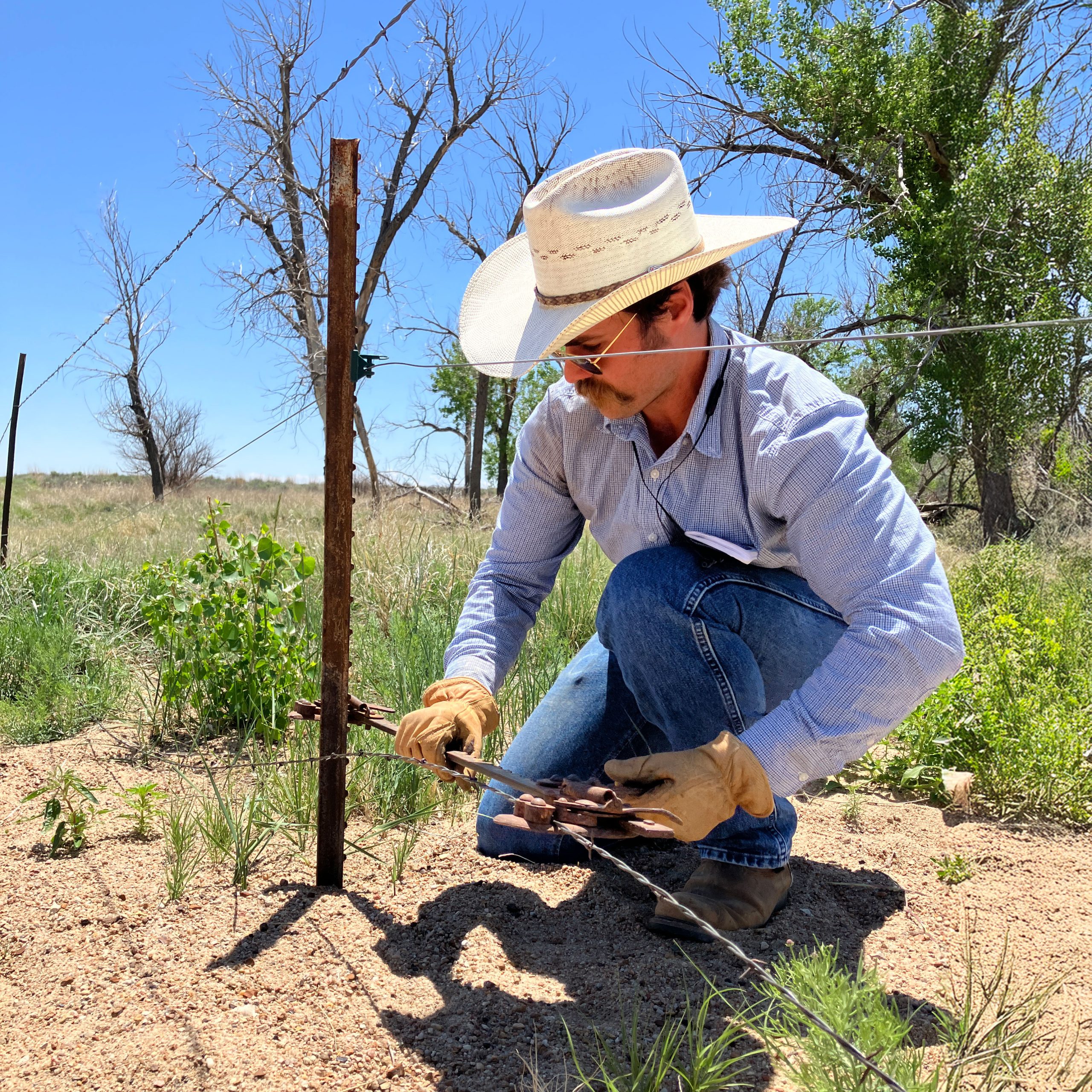
- What type of operation do you want to be on?
- What type of learner are you?
- What type of mentor are you hoping for?
Remember…you will get out of an apprenticeship what you put in. So we encourage you to find an operation that you are ready to invest a lot of energy into before you apply.


New Agrarian Program 101
Check out the recording of our latest New Agrarian Program 101 information call that dives into the program details and describes each mentor site.
Dive Deeper
Watch and review
We recommend contacting staff at the New Agrarian Program before you apply to talk through your mentor site selections and ask questions. Prior to that, we request that you watch the New Agrarian Program 101 call and narrow down your top sites to 7-8 in preparation.