

Virtual Fencing: New Tools for Post-Fire Grazing Management
RSVP for Event
Details
- Oct 17 2026
- Expired!
- 10:00 am - 2:00 pm
- Sapello
- Mike Mateo Sena Elementary 12 Co Rd A1, Sapello, NM 87745
Download / Add Event to your Calendar
Event Partners
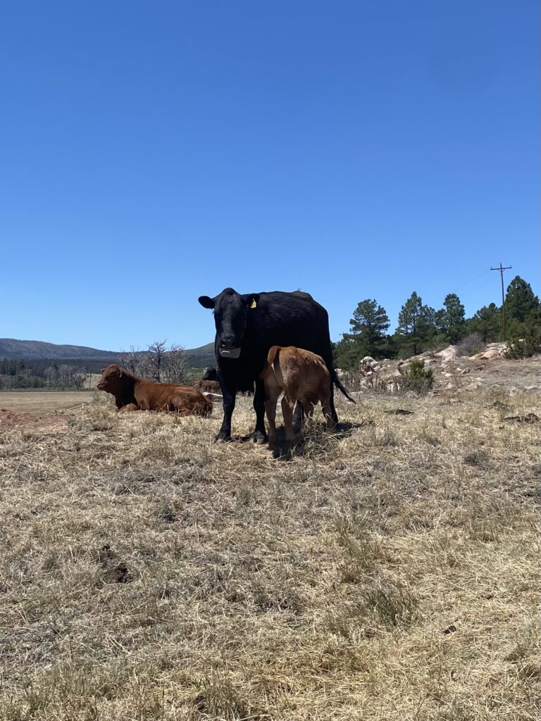
Wildfire can dramatically change both the landscape and the infrastructure ranchers rely on to manage livestock. Fences may be burned or damaged during a fire, while post-fire flooding can continue to wash out infrastructure for years afterward. Without functional fencing, managing livestock distribution becomes increasingly difficult, especially when landscapes need time to recover.
Virtual fencing offers another tool for navigating these challenges. Using GPS-enabled collars and digitally- created boundaries, ranchers can manage livestock without relying solely on physical fences. Boundaries can be adjusted as grazing plans, forage availability, or landscape conditions change, providing an alternative when traditional fencing is difficult, costly, or impractical to maintain.
Join Quivira Coalition, Hermits Peak Watershed Alliance, and Vence for a half-day, field-based workshop exploring how virtual fencing works and how it can be incorporated into a working ranch operation. A representative from Vence will demonstrate the technology and equipment, including collars, base stations, and the management program. Participants will learn about training cattle, creating and adjusting virtual boundaries, monitoring livestock, and incorporating virtual fencing into planned grazing.
Hermits Peak Watershed Alliance will also share lessons from its post-fire recovery work in the Sapello watershed, where they have been working with local ranchers to use virtual fencing to help protect recovering riparian areas and wetlands after the Hermits Peak/Calf Canyon fire while continuing to graze livestock.
Whether you’re navigating post-fire recovery, looking for more flexibility in your grazing system, managing difficult-to-fence terrain, or simply curious about virtual fencing, this workshop is an opportunity to see the technology firsthand, ask questions, and consider whether it could work for your operation.